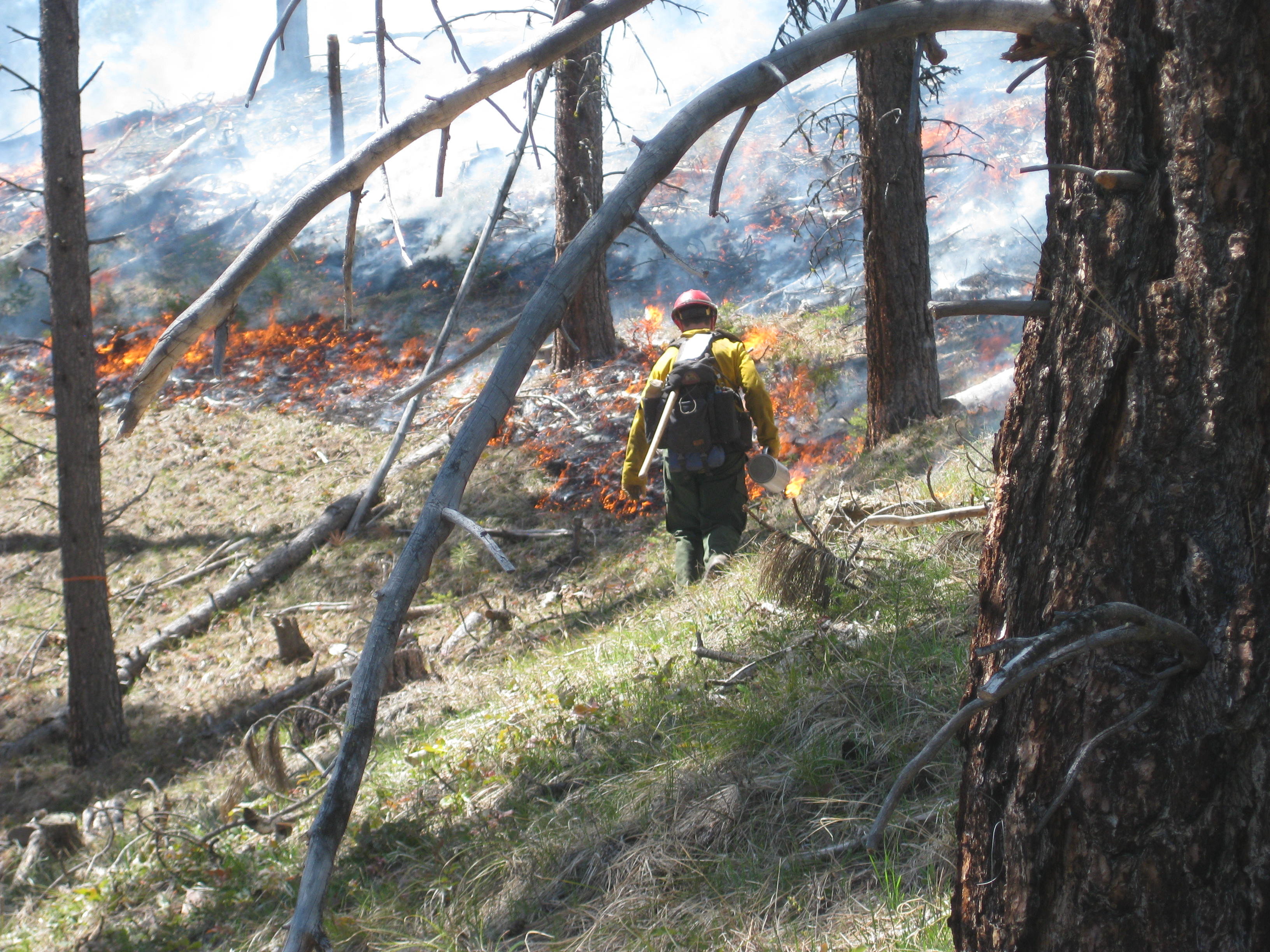
 The Bitterroot National Forest has begun implementing fall prescribed burning projects. The majority of the burns planned include understory burns to reduce forest fuels and improve wildlife habitat and pile burning to reduce residual slash from thinning and timber harvest operations.
In total, fire managers on the Darby/Sula, West Fork, and Stevensville Ranger Districts plan to burn approximately 4,100 acres this fall. Smoke from the burns will likely be visible from West Fork Highway, East Fork Road, SW of Darby and Hamilton, and east of Stevensville. Prescribed fire produces smoke, but the smoke is typically visible for a short duration, 1-2 days, and managed to minimize impacts to communities. Treatment areas include:
Darby/Sula Ranger District – 2,500 acres are planned:
- Como/Horse Lick, south of Lost Horse and north of Lake Como
- Trapper Bunkhouse, SW of Darby between Little Tin Cup Creek & Trapper Creek
- Cameron Blue and Middle East Fork, along East Fork road between Guide Creek and Tolan Ridge
West Fork Ranger District – Up to 1,500 acres are planned:
- Lower West Fork Units north of Boulder Creek and south of Baker Lake Road
- School Point Ecoburn, east of Halford Creek and west of Gemmel Creek, along Nelson Lake Trailhead Road
- Soda Springs Ecoburn, east of Little West Fork and west of Halford Creek along Forest Road #5633B
- Lower West Fork Unit 8, south of Troy Creek (pile burning)
- South of Lavene Creek along Trapper Peak Trailhead Road (pile burning)
- East of Two Creek along Forest Roads #732 & 732A (pile burning)
- Applebury Boat Launch (pile burning)
- Between Tough Saddle and Mud Saddle, along Forest Road #5644 (pile burning)
- Painted Rocks Units south of Coal Creek (pile burning)
Stevensville Ranger District – 100 acres are planned:
- Three Saddle Units, east of Stevensville on Ambrose Road #428 in the Sapphire Mountains
The burns will only be ignited when fuel moistures, weather conditions, and smoke dispersion is favorable. Fire crews will monitor all burns after ignition to ensure that they stay within prescribed boundaries until declared out. Residual smoke is expected for a few days as fuels consume. Major roads in the area will be signed and local residents who have requested prior notification, will be contacted in advance of burning.
Prescribed fires have several objectives including:
Maintain forest health and ecosystem restoration
Improve wildlife habitat – many plants respond favorably to fire providing new food sprouts for wildlife.
Reduce the potential of large, high intensity wildfires within the Wildland Urban Interface by reducing the amount of downed fuel to burn.
Post-harvest slash treatment – reduce residual slash created by thinning operations and personal use firewood cutting.
Fall prescribed fire activities normally take place between September and November and burning is highly weather dependent. A mosaic pattern of burned and unburned areas will remain after treatments.
For public safety, recreationists are asked to be aware of fire crews and vehicles in these areas. The public is also asked to avoid traveling in prescribed burn units as well as trails and roads directly adjacent to the units. Forest officials remind the public to take caution as roads and trails used as control lines for the burn could be temporarily impacted by low intensity fire and smoke.
Fire managers plan to conduct the burning quickly, with limited impacts to recreational users and the general public. Overnight, there is potential for smoke to settle into the bottom of valleys and corridors that may cause short term smoke impacts for residents and travel.
For more information or to be placed on a day-of-burning notification list, contact your local ranger station.
For the latest burn announcements, burn updates, maps, and photos of project areas visit us at www.fs.usda.gov/bitterroot or www.facebook.com/DiscoverBitterrootNF.